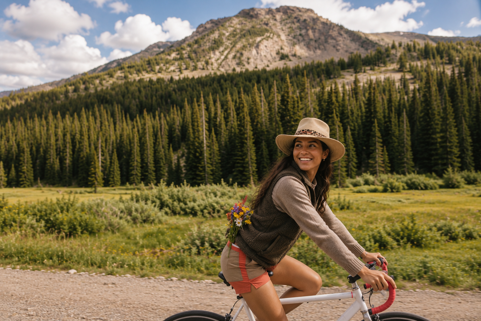
Find your rhythm. Take in the mountains.

Cool morning air. A steady climb. A café stop with the people you came to ride with. Clear Creek’s paved paths and mountain roads give you different ways to spend a day on two wheels, from a shorter ride beside the creek to a climb that takes some planning.

Choose a route that fits your experience. Leave time for the view, the ride back, and something good to eat afterward.

Clear Creek County road biking mapCircles indicate easy rides, squares moderate rides, and diamonds difficult rides. Dashed routes follow paved paths and solid routes shared roads. Numbers correspond to the ride list. This is a generalized planning map.Turnaround: Echo Lake / CO 5 junctionTurnaround: Guanella Pass summitTurnaround: Loveland Pass summitTurnaround: Berthoud Pass summitTurnaround: Mount Blue Sky upper roadTurnaround: Silver Plume depotTurnaround: Loveland Valley path accessTurnaround: North Georgetown connectionTurnaround: Game Check StationEmpireSilver PlumeGeorgetownIdaho SpringsLawsonBakervilleLoveland ValleyEcho LakeI-70I-7040103Berthoud PassLoveland PassGuanella PassMount Blue SkyCONTINENTAL DIVIDETO DENVERN05 milesIdaho Springs Greenway • Easy1Georgetown to Silver Plume • Moderate2Bakerville to Loveland • Moderate3Lawson to Georgetown • Moderate4Idaho Springs to Echo Lake • Difficult5Guanella Pass from Georgetown • Difficult6Loveland Pass from the east • Difficult7Berthoud Pass from Empire • Difficult8Mount Blue Sky from Echo Lake • Difficult9
EasyModerateDifficult
Browse routes ↓

Select a numbered marker for details. Dashed lines: paved path rides. Solid lines: shared roads. Dotted lines: construction gap.

Road biking routes

9 paved road biking routes

Idaho Springs Greenway2.5 mi round trip · Paved path
EasyDifficulty2.5 miApprox. round trip

Gentle creekside riding

A short creekside outing on the local paved Greenway. Ride east to the Game Check Station and return the same way.

Start: Shelly/Quinn Fields access
Turn around: Game Check Station
Riding environment: Paved path + short road connection

Use the local segment shown. The Scott Lancaster trail farther east has a construction closure, so do not plan a continuous ride to Floyd Hill.

Georgetown to Silver Plume3.6 mi round trip · Paved path
ModerateDifficulty3.6 miApprox. round trip

Short ride with a real climb

Follow the paved Express path above the railroad toward Silver Plume. Its steady climb makes this a step up from a flat family ride.

Start: Georgetown Loop access
Turn around: Silver Plume depot
Riding environment: Paved path + short road connection

Begin at the signed Georgetown Loop path access. Follow marked road connections and yield to walkers.

Bakerville to Loveland9.8 mi round trip · Paved path
ModerateDifficulty9.8 miApprox. round trip

Steady climb at high altitude

A paved climb beside Clear Creek to Loveland Valley. There are no shared-road miles on the mapped path, but altitude and the sustained uphill effort add up.

Start: Bakerville BLT trailhead
Turn around: Loveland Valley path access
Riding environment: Paved multi-use path

Best when dry and snow-free. This path is used for winter snow recreation and is not a year-round road-bike ride.

Lawson to Georgetown9.1 mi round trip · Shared road
ModerateDifficulty9.1 miApprox. round trip

Rolling valley road ride

Ride the paved Alvarado Road bikeway from Lawson toward Georgetown, then retrace it. A useful valley ride for riders comfortable sharing the road.

Start: Alvarado Road in Lawson
Turn around: North Georgetown connection
Riding environment: Shared paved roads

Use Alvarado Road and the signed bikeway. Expect vehicle traffic and changing shoulders. Check local work zones before riding.

Idaho Springs to Echo Lake26.3 mi round trip · Shared road
DifficultDifficulty26.3 miApprox. round trip

Long mountain climb

Climb CO 103 from Idaho Springs to the Echo Lake junction, then descend the same road. Plan for sustained uphill riding and a long, technical descent.

Start: CO 103 in Idaho Springs
Turn around: Echo Lake / CO 5 junction
Riding environment: Shared mountain road

Traffic shares this road. Watch for narrow sections, gravel on corners and fast-changing mountain weather.

Guanella Pass from Georgetown20.8 mi round trip · Shared road
DifficultDifficulty20.8 miApprox. round trip

Steep switchbacks and alpine climbing

Follow the paved byway from Georgetown to the pass and return. Switchbacks, climbing and the exposed upper road make this a demanding ride.

Start: Guanella Pass Road in Georgetown
Turn around: Guanella Pass summit
Riding environment: Shared mountain road

Seasonal summit access. The upper road closes in winter; check the county before departure and avoid peak fall traffic.

Loveland Pass from the east9.2 mi round trip · Shared road
DifficultDifficulty9.2 miApprox. round trip

Short, exposed high-alpine climb

Climb US 6 from the Loveland Valley side to the Continental Divide and return. The route is short, but its altitude, grade and highway traffic require experience.

Start: US 6 at Loveland Valley
Turn around: Loveland Pass summit
Riding environment: Shared highway

Expect trucks, wind and changing weather. Use a legal parking location and check US 6 conditions before riding.

Berthoud Pass from Empire26 mi round trip · Shared road
DifficultDifficulty26 miApprox. round trip

Long highway climb to the Divide

Climb US 40 from Empire through Berthoud Falls to the pass, then return. This is an experienced-rider route with a long descent and substantial traffic exposure.

Start: US 40 in Empire
Turn around: Berthoud Pass summit
Riding environment: Shared highway

Expect fast traffic and variable shoulders. Dry summer conditions are the preferred riding window; check COtrip for road work and weather.

Mount Blue Sky from Echo Lake28.7 mi round trip · Shared road
DifficultDifficulty28.7 miApprox. round trip

Expert alpine effort above 14,000 feet

Follow CO 5 from Echo Lake to the upper road and return. Extreme altitude, exposure and a long descent make this the most demanding ride in this guide.

Start: Echo Lake / CO 5 junction
Turn around: Mount Blue Sky upper road
Riding environment: Shared seasonal summit road

Seasonal access. Confirm bicycle access with the area manager and obey posted closures. Expect uneven pavement, wind and cold even in summer.

Distances are approximate round trips along the mapped segments. Numbers mark ride starts; outlined dots mark turnarounds. Difficulty estimates consider climbing, distance, altitude and traffic in dry conditions. Path rides can include short road connections. The Greenway has construction gaps, and alpine roads have seasonal restrictions. Check access before riding and use current official maps for navigation.

Map sources

Routes and access information: county tourism directory, Clear Creek County, CDOT and the Mount Blue Sky area manager. Geometry: Clear Creek County GIS. Distances calculated from mapped centerlines. Terrain: USGS 3DEP. Boundary: U.S. Census. October 2026.

FIND YOUR RIDE

A little exploring. A longer climb. Your kind of day.

BAKERVILLE–LOVELAND TRAIL
Bakerville to Loveland Valley · Paved shared-use path

Mountain riding, with room to find your pace.

Follow this paved path approximately five miles each way between Bakerville and Loveland Valley. Riding west brings a steady climb at high elevation, so choose your turnaround point to suit your group. Plan a road-bike visit when the pavement is clear of snow, and share the path with walkers and other riders.

CLEAR CREEK GREENWAY
Various locations · Paved paths and road connections

Keep the creek close. Leave time for town.

Build a shorter outing around an established paved segment, or connect sections for a longer ride. The Greenway includes shared-use paths and frontage-road connections, so review your full route before leaving. Choose a section that matches your comfort around traffic, then make a local lunch stop part of the plan.

GUANELLA PASS
From Georgetown · Challenging road climb

Find a steady pace through the changing scenery.

Climb from town toward forests, mountain views, and the open landscape above treeline. Guanella Pass is paved through to Grant, with sustained climbing and a descent that deserves your full attention. This is a shared mountain road with vehicle traffic. Check seasonal access and choose a turnaround point before setting out.

MOUNT BLUE SKY
From Idaho Springs or Echo Lake · Advanced road climb

A mountain day to prepare for.

For experienced cyclists, the climb toward Mount Blue Sky offers a demanding ride into the high country. Choose your starting point and distance carefully, allowing for sustained climbing, exposed terrain, and a long descent. Weather, pavement conditions, and seasonal access should guide the plan. Confirm current bicycle access and any entry requirements before your visit.

A LITTLE PREPARATION. A BETTER RIDE

Look after yourself and the people sharing the route.

Check your tires and brakes, wear a helmet, and bring lights, water, snacks, a repair kit, and a warm layer. Download your route and review the forecast before heading out.

Mountain roads can have narrow shoulders, rough pavement, and blind corners. Ride predictably, control your speed on descents, and give yourself room to respond. On shared paths, slow down around others and announce your pass.

Check closures and construction before every ride. A line on the map doesn’t tell the whole story.
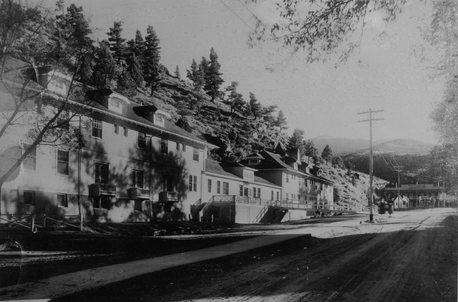
STAY FOR ANOTHER DAY

Leave a little room for tomorrow.

Book a stay in Clear Creek and make time for dinner, a slow morning, and whatever your adventure has planned next.